Appalachian Climate Range Shifts & Multi-State Conservation Governance
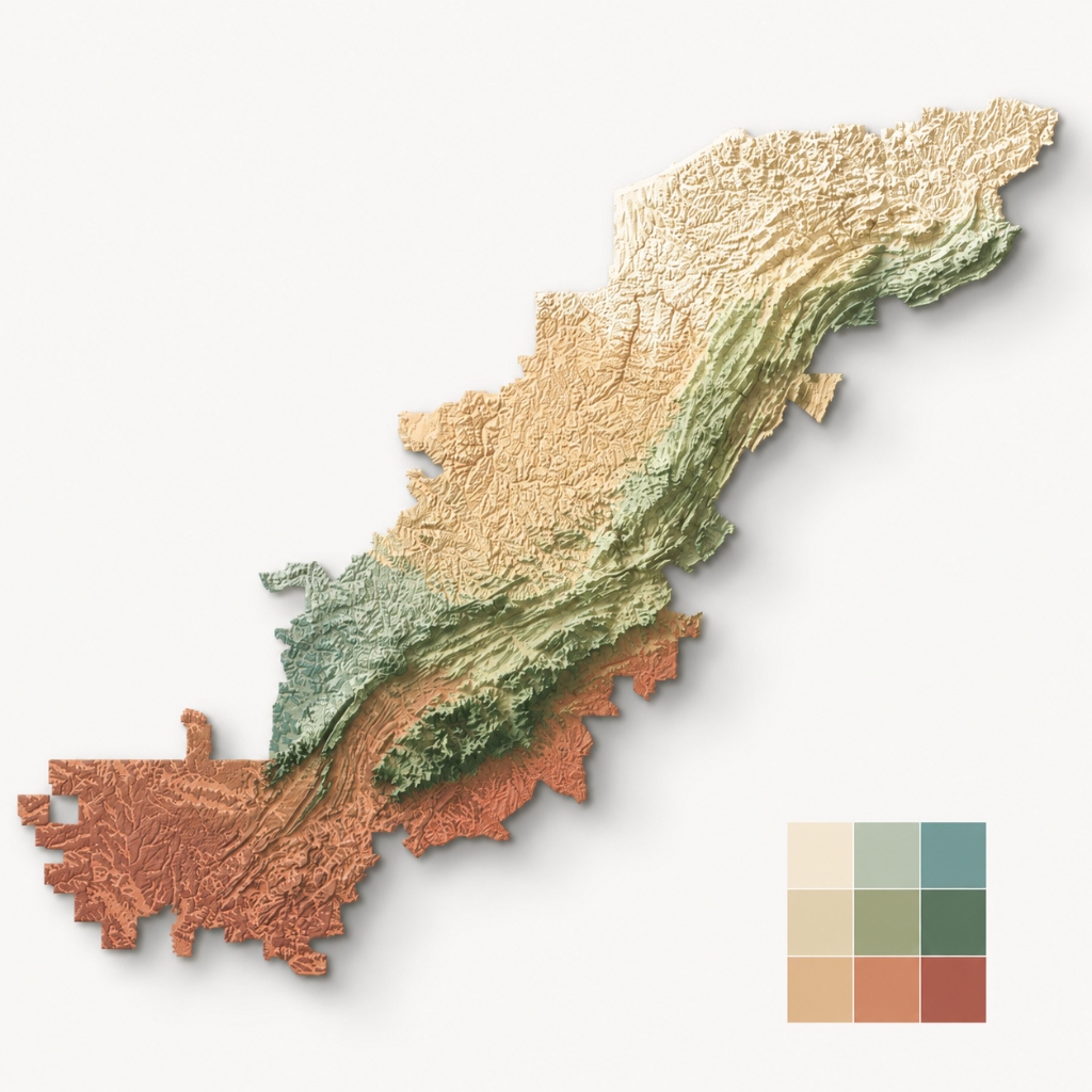
Modeled shifting conservation responsibility across 13 Appalachian states for 270 vertebrates under 13 climate models and 4 SSP scenarios through 2050.
Project Overview
Evaluated how conservation responsibility is shared among 13 Appalachian states as species move under climate change. Modeled niche projections from Barve et al. for 270 vertebrates under 13 climate models and four Shared Socioeconomic Pathways (SSPs) through 2050. Employed a quasi-experimental matching design (174 matched clusters across reporting vintages) benchmarked against null models, with variance decomposition isolating where reporting biases originate. Formulated a multi-jurisdiction burden-attribution model combining Circuitscape connectivity and spatial network simulation with Herfindahl-Hirschman (HHI) concentration and Pielou evenness indices to quantify trans-boundary governance spillover across regulatory boundaries no single authority spans.
My Role
Lead Quantitative Modeler. Designed observational matching estimators, trans-boundary connectivity simulations, null-model counterfactuals, and multi-jurisdiction attribution indices.
Tools / Stack
Project Details
Implementation Roadmap
Development Process.
Construct matching design across 174 matched observational clusters spanning historical and contemporary reporting vintages.
Execute null-model counterfactual simulations and perform variance decomposition to isolate reporting bias.
Model trans-boundary spatial range shift projections across 13 Appalachian states for 270 vertebrate taxa through 2050.
Evaluate connectivity and corridor pinch points across changing landscapes using Circuitscape.
Compute Herfindahl-Hirschman Indices (HHI) and Pielou evenness metrics to quantify governance concentration across jurisdictions.
Deliver keynote address at IALE-North America 2026 and present findings to the Southeast Climate Adaptation Science Center.
Case Study Analysis
Challenges & Outcomes.
Species ranges shift in response to climate change without regard to state or administrative boundaries. Because no single state agency governs regional movement corridors, traditional impact attribution breaks down, causing underinvestment in critical multi-jurisdiction corridors.
Developed multi-jurisdiction burden-attribution models pairing matching estimators with HHI concentration and Pielou evenness indices across 13 states and 270 vertebrate taxa.
Provided state and federal conservation planners with defensible trans-boundary attribution frameworks and delivered the student keynote at IALE-North America 2026.